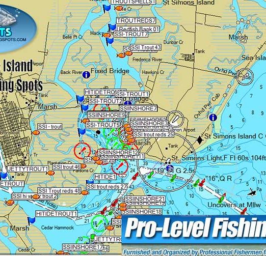
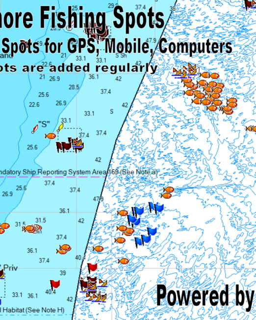
Our Cumberland Island Georgia nearshore and bay/sound fishing spots are professional level fishing spots and GPS coordinates provided by two local hand picked guides. All our spots work with your boats GPS using an SD card and includes files for your mobile devices! Cumberland Island is the southern most Island in the Georgia Barrier Island Chain and offers superb fishing from the rivers and creeks to the offshore reefs and wrecks, live bottom and ledges! See full details about this area including map sample images, number of spots and fishing spots coverage by clicking the blue "see more details" button below.
Cumberland Island Nearshore Fishing Spots
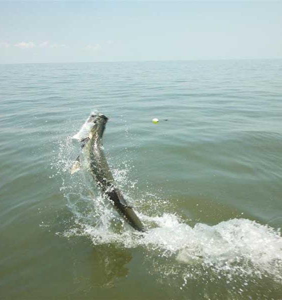
Cumberland Island Nearshore Fishing Spots
$79.99
Includes easy to use DIY files for your boats GPS, Mobile devices and Computers
Email anytime with questions using the contact form here.
Please Note: Each Georgia fishing area is different. There are no set maximum of fishing coordinates and fishing locations. Most fishing spots provide comments, only a few do not. Some areas have more fishing spots that others depending on the size of the fishing location overall.
GPS NOTE - IMPORTANT: As many of us know, each and every GPS or Chart plotter is different. Each of them have their own way of accepting coordinates. Never use a mobile device as your sole means of navigation. Moreover, never use fishing spots maps of any kind for navigation. Depend on local knowledge and your GPS manufacturers supplied mapping in your GPS. If you need detailed navigation mapping for your model, we do not provide that. However, simply contact the manufacturer of your model for that information. Please, always boat and/or fish at your own risk and skill level.