
Georgia Fishing Spots for GPS
Georgia GPS fishing spots and fishing maps for saltwater fishing in Coastal Georgia. Get the best fishing spots available for fishing in Georgia for Inshore fishing and Offshore fishing along the Georgia coast and interior Lakes and Reservoirs. Use our fishing spots on the water and off the water for easy access at all times and for trip planning your next fishing trip! Our product eliminates the need for paper fishing maps and fishing charts utilizing today’s GPS technology. The GPS files you will receive work with Google Earth and other GPS apps. Also, the included GPS file loads all your purchased spots into your GPS at once and preloaded SD cards are available at checkout. Many of our private saltwater fishing spots are not available anywhere else on paper fishing charts or online. Most of our GPS locations are organized by local guides and pro’s. Choose your favorite Georgia fishing spots location for the best Inshore and Offshore fishing spots. Or, choose one of our Georgia Lake Fishing Maps.
 Fishing Spots SD Cards for GPS! Get an SD card and easily import our fishing spots to your GPS. Our fishing spots will load and work seamlessly with Garmin, Lowrance, Humminbird, Raymarine Hybrid and Simrad GPS units (All brands are TM) Preloaded GPS cards are always available at checkout!
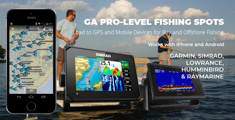
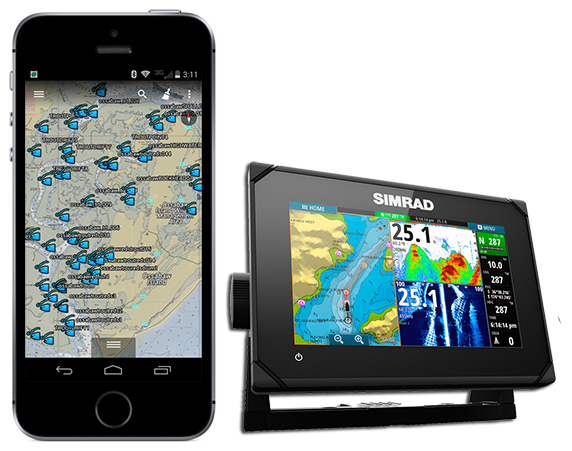
GO MOBILE OR USE WITH ANY MARINE GPS! See some of our Georgia Fishing Spots on Android and iPhone! Use the free Google Earth App to load our fishing spots for quick viewing. Use and view your fishing spots and comments at home, on the go and on the water! This technology has replaced paper fishing maps and charts. Remember, all our spots will load to most any GPS brand or model you have on your boat using a micro SD card. Add YOUR SD card at checkout!
NAVIONICS BOATING APP FOR ANDROID OR IOS – The Navionics Boating app offers a boatload of features and FULL detailed Nautical chart mapping on your Apple or Android mobile device so you have them wherever you go. This app is perfect for anyone who loves spending time on the water. You can plan your routes and trips in advance with this app’s detailed charts of more than 2 million miles of coastline and inland waterways. Plus, get real-time data including weather conditions, wind speeds and wave heights to help you make the most of your time on the water. Stay safe on the water using The Navionics Boating App.
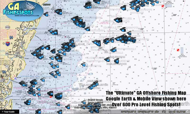
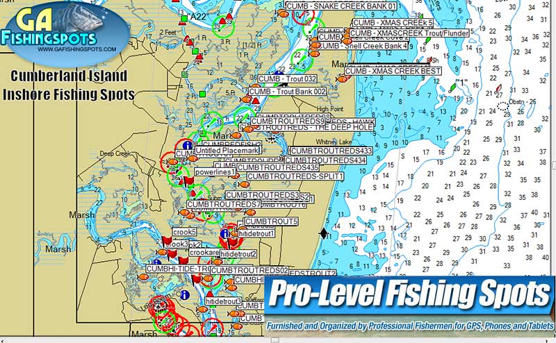
What’s it look like when loaded? Below are some of our Georgia saltwater Fishing Spots loaded to a GPS and the free Google Earth App for sample purposes. Keep in mind, these fishing spots will work with nearly any GPS that accepts an SD card including most Handheld GPS models. Note: Actual views, icon symbols and comments on fishing spots may vary depending on the base map installed on your GPS. All names, icons and comments are editable! See all Georgia Saltwater Fishing Map locations here! See all Georgia Freshwater Lake Fishing Maps and Fishing Spots here!
See more Information | Cumberland Island Fishing Spots | Jekyll Island Fishing Spots | St. Simons Fishing Spots | Little St. Simons Fishing Spots | Sapelo Island Fishing Spots | St. Catherines Island Fishing Spots | Ossabaw Island Fishing Spots | Wassaw Island Fishing Spots | Tybee Island Fishing Spots | Savannah Georgia Fishing Spots | GA Pro Kingfish Map | The Ultimate GA Offshore Fishing Map | Elton Bottom Fishing Spots | Lake Lanier Fishing Spots | Lake Eufaula Fishing Spots | Georgia Lake Fishing Maps


